National Weather Service Tampa Bay Ruskin FL Fri Nov 5 2021
This Hazardous Weather Outlook is for West Central And Southwest Florida.
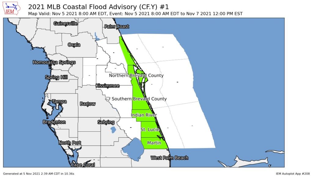
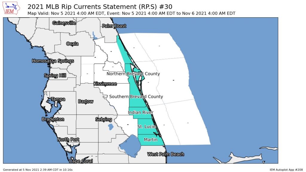
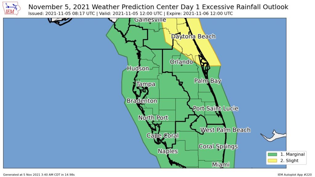
.DAY ONE…Today and Tonight.
…THUNDERSTORM IMPACT… Widespread showers with embedded thunderstorms are expected. Thunderstorms that develop will be capable of producing strong gusty winds…locally heavy rains… and frequent deadly lightning strikes. A few may become severe…with isolated tornadoes possible in addition to damaging wind gusts.
…FLOOD IMPACT… Locally heavy rainfall is expected. The heavy rain will produce flooding of low lying and poor drainage areas as well as the ponding of water on roadways. Motorists should exercise caution.
…MARINE IMPACTS… Wind speeds of 20 to 33 knots will create hazardous boating conditions for small craft operators. Some gusts to gale force will also be possible. .DAYS TWO THROUGH SEVEN…Saturday through Thursday.
…RIP CURRENT IMPACT… For Saturday, high surf may produce rip currents along area beaches.
…MARINE IMPACTS… For Saturday through Sunday morning, wind speeds of 20 to 33 knots will create hazardous boating conditions for small craft operators.