DISCUSSION… The upper-level pattern remains highly amplified in the wake of a rather strong area of low pressure that continues to move out to sea. The base of the upper-level trough, trailing the surface low, is pulling away from the FL peninsula. A strong upper-level ridge and surface high pressure is settling in behind this low. As the ridge moves closer and the gradient relaxes, winds have begun to subside, moisture has continued to fade, and skies have cleared. This has now created a rather efficient environment for overnight radiational cooling, facilitating a chilly start for the next couple of mornings.
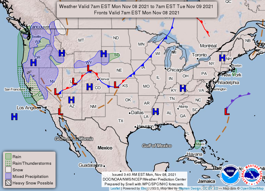
The position of the surface ridge is dictating our wind flow. As the high continues to propagate eastward, the winds are expected to shift accordingly. For today, this means a gradual transition from N to NNE. Tomorrow, winds are looking more ENE, followed by E on Wed and so on and so forth. This gradual veering should lead to the eventual return of warmer air and, eventually as the winds transition to ESE, additional moisture. As such, 80s are back in the forecast as early as Wednesday and some rain chances return for late in the week. This remains in the forecast until the next cold front arrives, which is currently looking like it may be just in time for the weekend.