Written by Omar Gonzalez
Tropical Storm Fred
Clear blue skies and an easterly wind to start the morning. Coverage of showers and storms will be scattered throughout the peninsula this afternoon. Conditions are favorable for strong downburst winds, frequent lightning, and heavy downpours. The possibility of the highest precipitation will be west of I-75 during the late afternoon hours. Temperatures forecasted to be in the low `90s
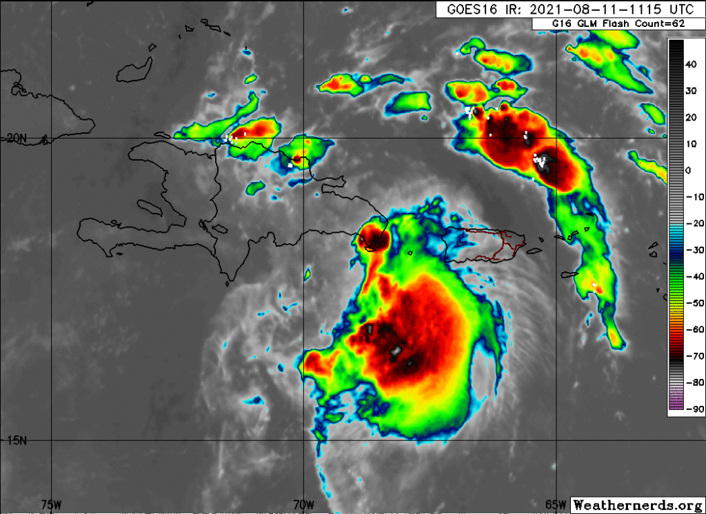
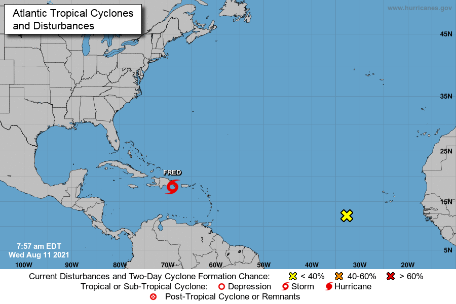
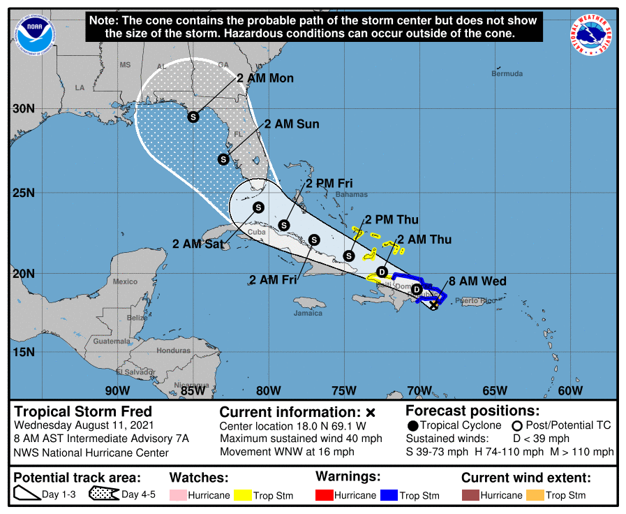
Tropical storm Fred has formed in the Caribbean and is located just southeast of Hispaniola, where the center of circulation is expected to pass near or over today. The mountainous terrain in this region will significantly hinder Fred and disrupt its development. Historically many storms have met their demise over the island of Hispaniola.
Fred is currently moving toward the west-northwest at 16 mph with maximum sustained winds near 40 mph and an estimated central pressure of 1009 Mb. Fred is an ugly disorganized storm. If this tropical cyclone survives land interaction today, what is left of it is forecasted to pass near the southeastern Bahamas and just north of the Cuban coast by Friday.
Fred is expected to emerge into the Southeast gulf by Saturday. Significant strengthening is not likely with this storm. However, models consensus have a minimum tropical storm redeveloping before making landfall somewhere in the Florida panhandle. There are no guarantees of any impacts in Central Florida at this time. Please consult with your local authorities and the National Hurricane Weather Center.