Written by Omar Gonzalez
An abundance of moisture and instability is present in our atmosphere; that, along with day-time heating, will set us up for a typical summer day. Although the highest probability of precipitation will be west of Interstate 75, coverage of storms will increase during the late afternoon hours and into the evening. Frequent lightning and gusty winds are likely to be associated. Expect temperatures in the low `90s.
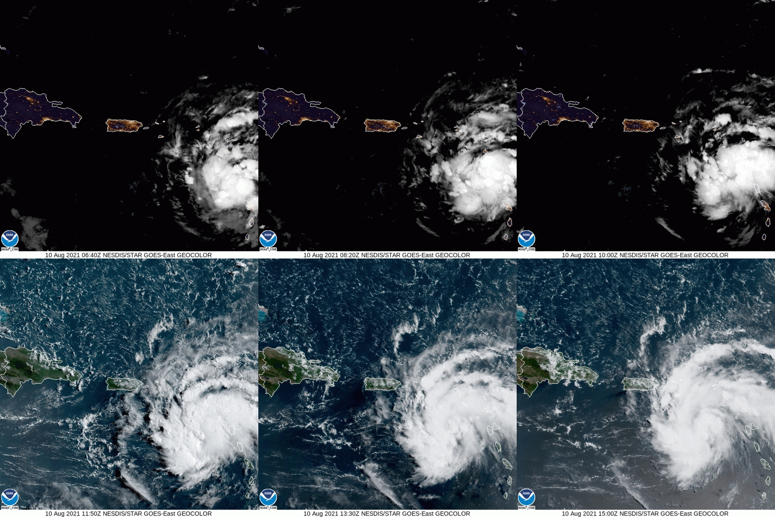
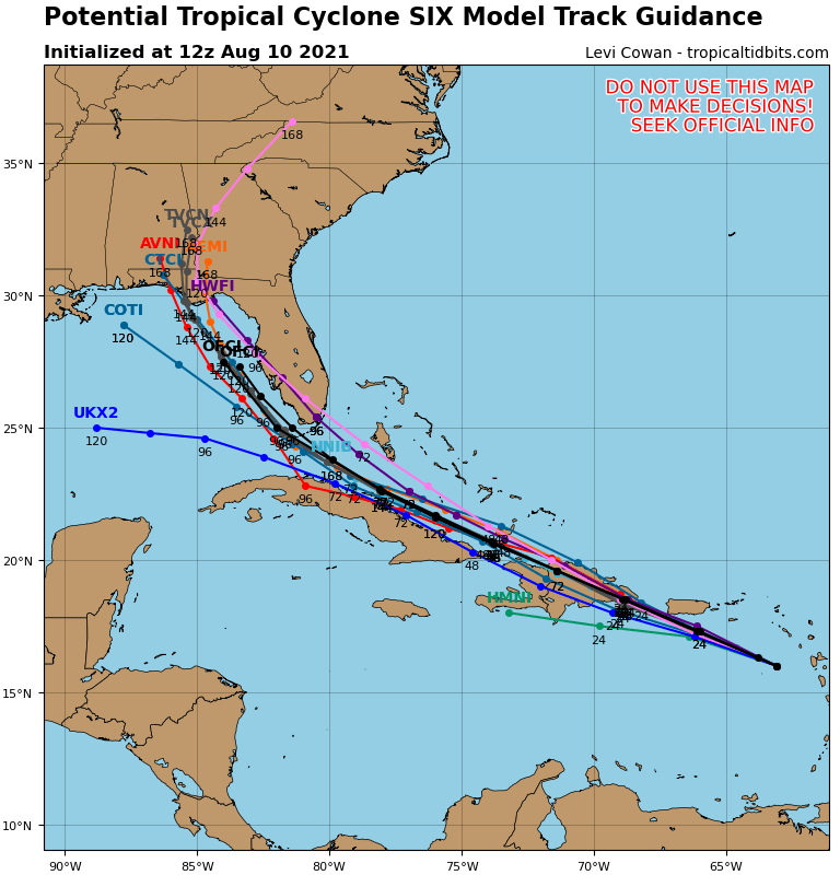
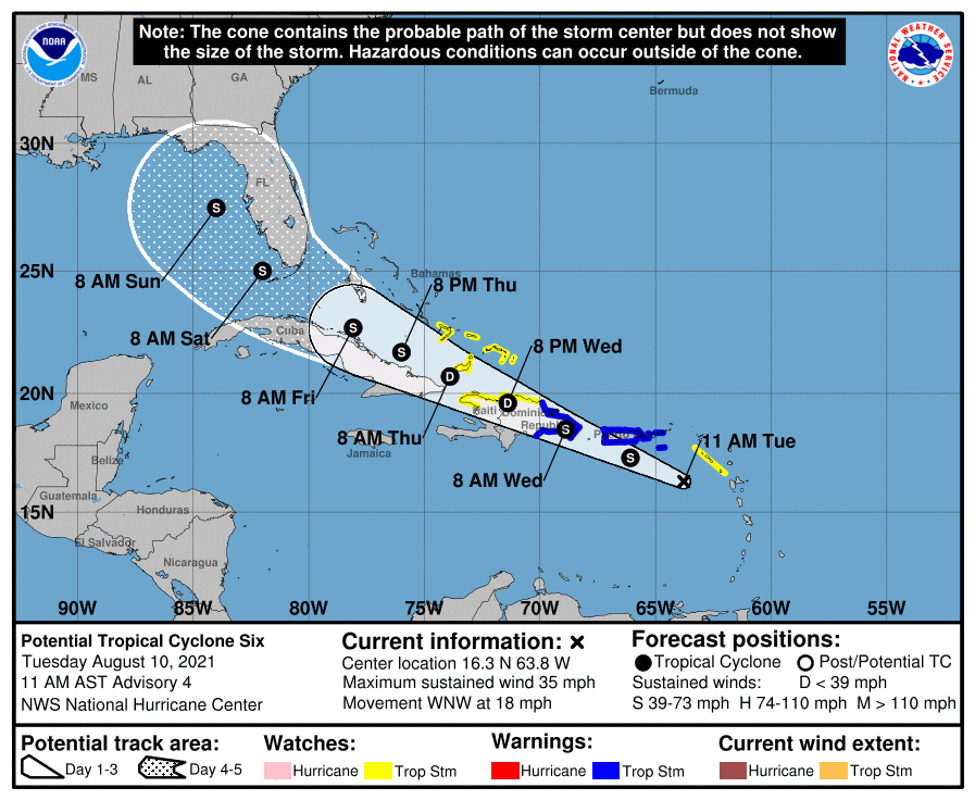
(Soon to be) Tropical storm Fred is located southeast of Puerto Rico this morning, traveling west-northwest at 18 mph, with maximum sustained winds at 35 mph. This cyclone is expected to pass near or over the islands of Puerto Rico and Hispaniola. Some weakening is forecasted during this interaction with land.
After emerging from Hispaniola, It’s anticipated to travel parallel the Cuban coast, across the straights of Florida, and into the Southeast Gulf of Mexico by Saturday. Model consensus is in agreement that this storm may strengthen before making landfall somewhere along the Florida panhandle. There are no guarantees of any impacts in Central Florida at this time. Please consult with your local authorities and the National Hurricane Weather Center.