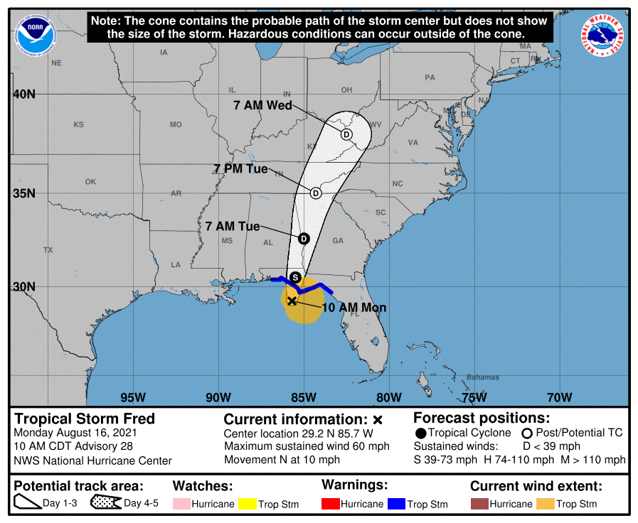
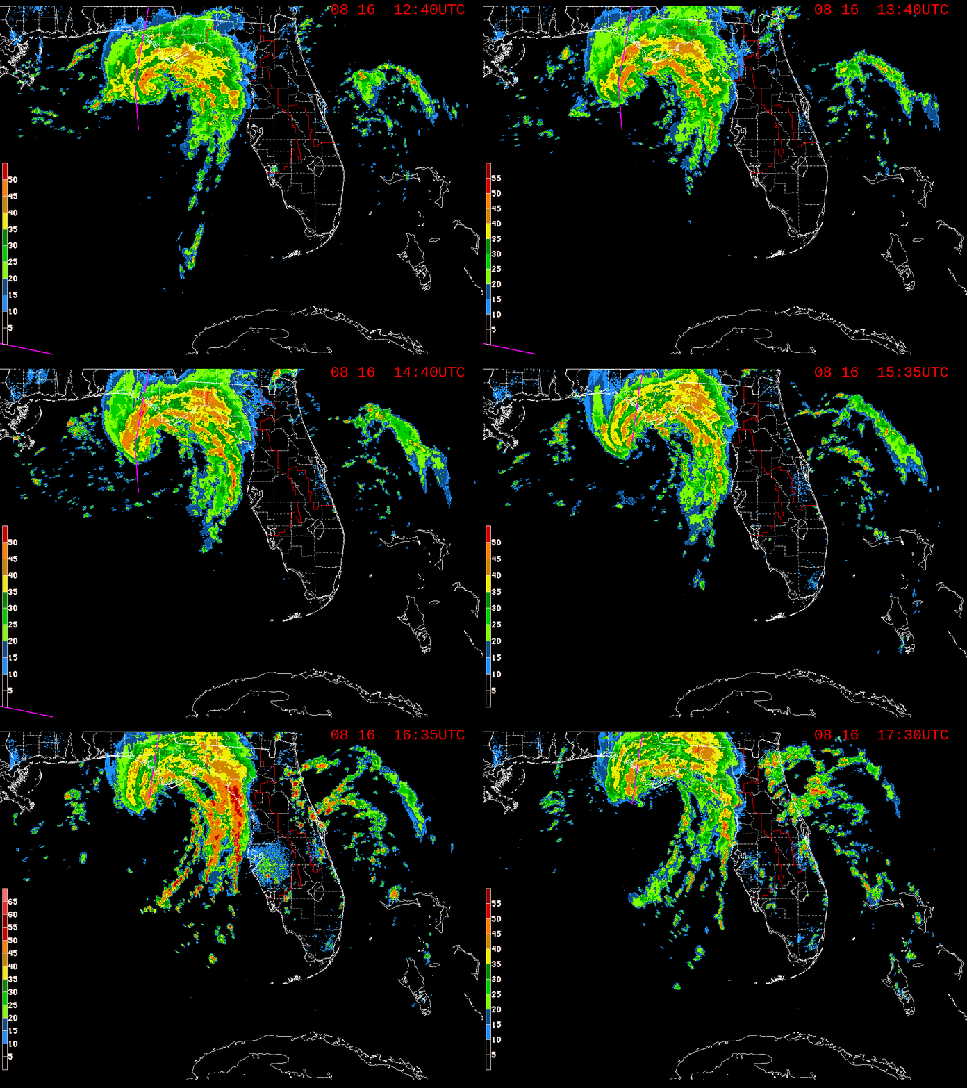
Fred regains tropical storm status as it approaches the Florida panhandle. Maximum sustained winds are near 60 mph, moving north at 10 mph with an estimated minimum central pressure of 993 mb. The center of Fred is expected to make landfall this afternoon near Panama City. Severe/ squally weather is expected for this area. No immediate impacts for central Florida.
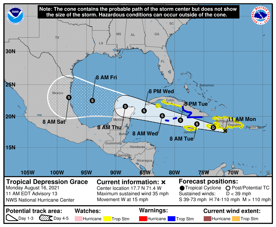
Tropical depression Grace is currently south of the Dominican Republic. She is forecasted to have land interaction similar to Fred, then drift northwest into the gulf while remaining well south of Florida. No impacts are expected for our viewing area.
As for central Florida, expect temperatures to reach the low ’90s today. Tropical moisture and daytime heating will give way to numerous showers and storms during the late afternoon hours.
Please consult with your local authorities and the National Hurricane Weather Center.